
No products in the cart.


Certified Geospatial Analyst (Construction)
₹6,000.00 ₹3,000.00
50% fee concession will end in
To train professionals to analyze and apply geospatial data for better planning, monitoring, and management of construction projects.
Description
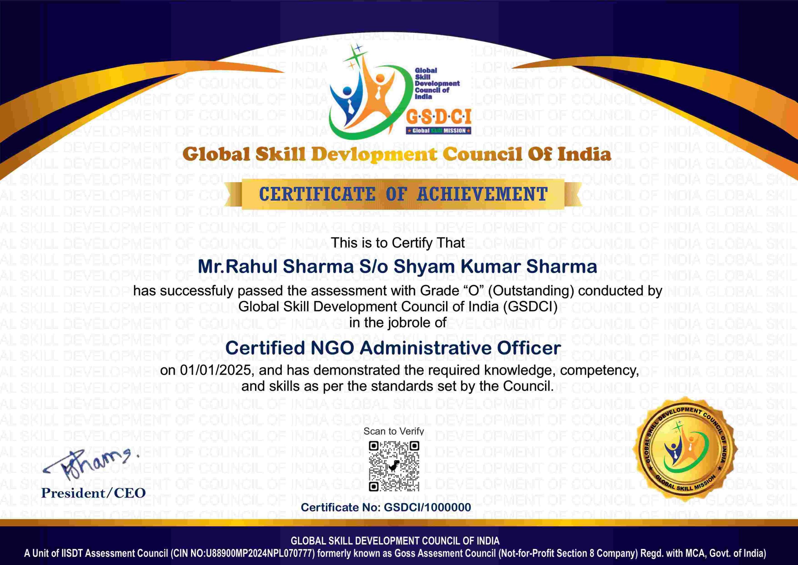
Course Name: Certified Geospatial Analyst (Construction)
Global Occupational Skill Standard – GOSS ID: GOSS/C/CGA/V1
Eligibility: Graduation or Equivalent or minimum 2 years of relevant experience (experience-based learners can directly enroll and certify).
Objective: The Certified Geospatial Analyst (Construction) course is designed to provide professionals with the skills and knowledge to collect, analyze, and apply geospatial data to support construction project planning, monitoring, and management. The course covers Geographic Information Systems (GIS), remote sensing, surveying technologies (e.g., GPS, drones), spatial data analysis, and mapping techniques.
Certification: Within 5 days after Completion of Online Assessment.
Get ready to join the Journey to become a GSDCI Certified Professional – International Certification and Assessment Body.
Steps to become a GSDCI Certified Professional:
Step 1: Select your certification you want to pursue.
Step 2: Click on get certified tab, new pop up window will open.
Step 3: Click on pay certification fee, you will be redirected to billing details page.
Step 4: Fill your details and click on pay certification fee, You will be redirected to payment gateway, pay fee by any available options like Card(Debit/Credit), Wallet, Paytm, Net banking, UPI and Google pay.
Step 5: You will get Login Credentials of Online E-Books and Online assessment link on your email id, within 48 hrs of payment.
Step 6: After completion of the online assessment, the soft copy of your certificate will be sent to your registered email ID within 5 days.
Assessment Modules:
Module 1: Fundamentals of Geospatial Technology: Introduction to geospatial concepts and terminology, Types of geospatial data, Coordinate systems and map projections, Overview of GIS software tools, Role and responsibilities of a geospatial analyst, Applications of geospatial technology in construction.
Module 2: Data Collection Methods: Remote sensing and aerial imagery, Use of drones and UAVs, GPS and GNSS technologies, Surveying techniques and equipment, Data accuracy and precision, Field data collection best practices.
Module 3: Geographic Information Systems (GIS): GIS architecture and components, Data input and database management, Spatial data analysis and querying, Map creation and cartographic principles, Integration with BIM and CAD, GIS software applications in construction projects.
Module 4: Geospatial Data Processing and Analysis: Data cleaning and preprocessing, Spatial interpolation and modeling, Terrain and surface analysis, 3D visualization and mapping, Change detection and temporal analysis, Automation and scripting in GIS.
Module 5: Applications in Construction Projects: Site selection and land use planning, Infrastructure and utility mapping, Environmental impact assessment, Construction monitoring and progress tracking, Risk and hazard analysis, Asset management and maintenance planning.
Module 6: Professional Practice and Emerging Trends: Data privacy and ethical considerations, Standards and regulatory compliance, Reporting and presentation skills, Collaboration with multidisciplinary teams, Emerging technologies (AI, IoT integration), Career development and certification maintenance.
GSDCI Online Assessment Detail:
- Duration- 60 minutes.
- Number of Questions- 30.
- Number of Questions from each module: 5.
- Language: English.
- Exam Type: Multiple Choice Questions.
- Maximum Marks- 100, Passing Marks- 50%.
- There is no negative marking in any module.
| Marking System: | |||
| S.No. | No. of Questions | Marks Each Question | Total Marks |
| 1 | 10 | 5 | 50 |
| 2 | 5 | 4 | 20 |
| 3 | 5 | 3 | 15 |
| 4 | 5 | 2 | 10 |
| 5 | 5 | 1 | 5 |
| 30 | 100 | ||
| How Students will be Graded: | |||
| S.No. | Marks | Grade | |
| 1 | 91-100 | O (Outstanding) | |
| 2 | 81-90 | A+ (Excellent) | |
| 3 | 71-80 | A (Very Good) | |
| 4 | 61-70 | B (Good) | |
| 5 | 50-60 | P (Pass) | |
| 6 | 0-49 | F (Fail) | |
Benefits of Certification:
1. Global Recognition & Credibility – Stand out worldwide with a certification that opens doors across borders. Trusted by employers, respected by institutions, and recognized in over 100 countries.
2. Quality Assurance through ISO Certification – Certified to global ISO standards, our programs deliver excellence, consistency, and a benchmarked learning experience that speaks for itself.
3. Career Advancement & Employability – Enhances your resume and increases chances of promotions or job offers.
4. Non-Profit Trust Factor – Certifications from non-profit organizations are mission-driven rather than profit-driven.
5. Access to Verified Learning & Resources – Often includes e-books, mock tests, and online support without hidden costs.
6. Transparency & Online Verification – Certifications come with a unique Enrolment ID for easy online verification by employers and institutions.
7. Lifetime or Long-Term Validity – Certifications usually have lifetime validity or long-term recognition, reducing the need for frequent renewals.


Reviews
There are no reviews yet.