img not found!

Certificate in GIS & Remote Sensing

Certificate in GIS & Remote Sensing

₹7,000.00 ₹3,500.00

50% fee concession will end in

To develop basic skills in GIS, remote sensing, digital mapping, satellite image interpretation, spatial data management, and geographic analysis.

Description

Course Name: Certificate in GIS & Remote Sensing

Course Id: CGRS/Q0001.

Eligibility: 10+2 (Higher Secondary) or equivalent.

Objective: The Certificate in GIS & Remote Sensing develops practical knowledge and skills required to understand, collect, manage, analyze and present geographic and remotely sensed data. The course covers GIS fundamentals, spatial data, coordinate systems, digital mapping, satellite imagery, remote sensing principles, image interpretation, spatial analysis, GPS/GNSS concepts and map preparation. It prepares learners to support mapping, surveying, environmental monitoring, urban planning, agriculture, disaster management and other geospatial applications.

Duration: Three Month.

How to Enroll and Get Certified in Your Chosen Course:

Step 1: Choose the course you wish to get certified in.

Step 2: Click on the “Enroll Now” button.

Step 3: Proceed with the enrollment process.

Step 4: Enter your billing details and continue to course fee payment.

Step 5: You will be redirected to the payment gateway. Pay the course and examination fee using one of the following methods:

Debit/Credit Card, Wallet, Paytm, Net Banking, UPI, or Google Pay.

Step 6: After successful payment, you will receive your study material login ID and password via email within 48 hours of fee payment.

Step 7: Once you complete the course, take the online examination.

Step 8: Upon passing the examination, you will receive:

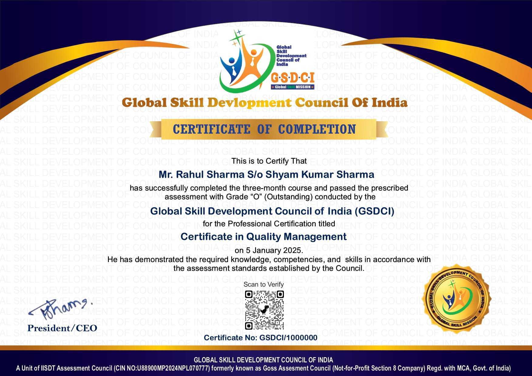
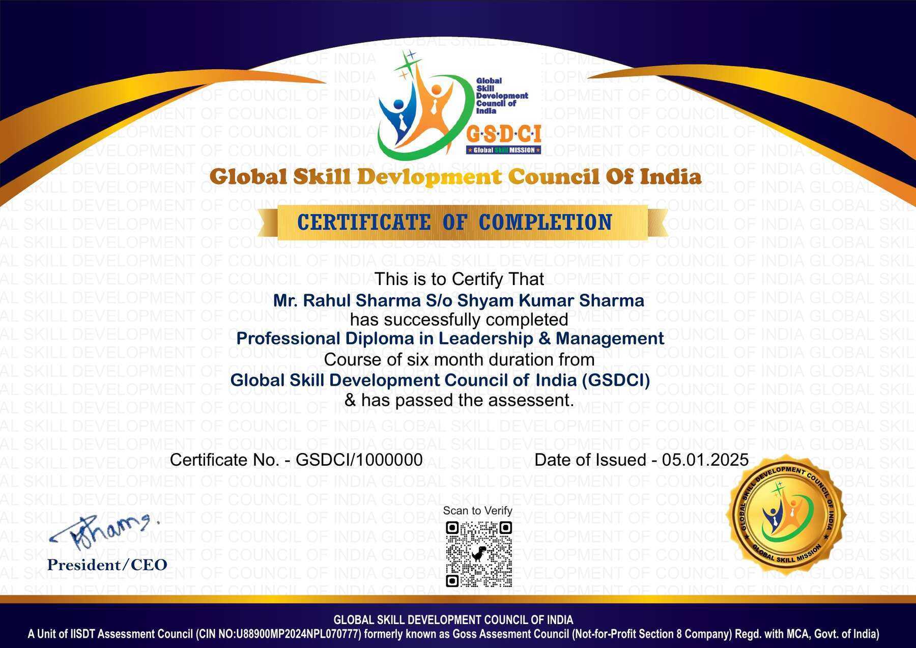
  • A soft copy (scanned) of your certificate via email within 7 days of the examination.
  • A hard copy (original with official seal and signature) sent to your address within 45 days of the declaration of the result.

Step 9: After certification, you will be offered job opportunities aligned with your area of interest.

Online Examination Detail:

Duration- 60 minutes.
No. of Questions- 30. (Multiple Choice Questions).
Maximum Marks- 100, Passing Marks- 40%.
There is no negative marking in this module.

Marking System:
S.No. No. of Questions Marks Each Question Total Marks
1 10 5 50
2 5 4 20
3 5 3 15
4 5 2 10
5 5 1 5
30 100
How Students will be Graded:
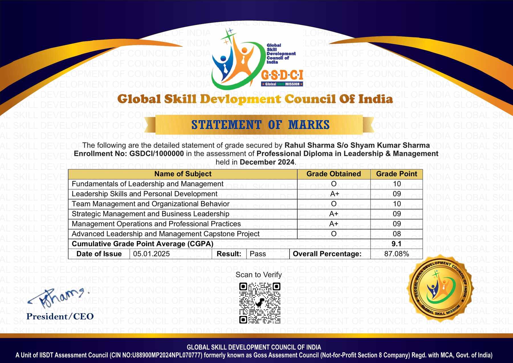
S.No. Marks Grade
1 91-100 O (Outstanding)
2 81-90 A+ (Excellent)
3 71-80 A (Very Good)
4 61-70 B (Good)
5 51-60 C (Average)
6 40-50 P (Pass)
7 0-40 F (Fail)

Key Benefits of Certification- Earning a professional certification not only validates your skills but also enhances your employability. Here are the major benefits you gain:

Practical, Job-Ready Skills – Our certifications are designed to equip you with real-world, hands-on skills that match current industry demands — helping you become employment-ready from day one.

Lifetime Validity – Your certification is valid for a lifetime — no renewals or expirations. It serves as a permanent proof of your skills and training.

Lifetime Certificate Verification – Employers and institutions can verify your certification anytime through a secure and reliable verification system — adding credibility to your qualifications.

Industry-Aligned Certification –All certifications are developed in consultation with industry experts to ensure that what you learn is current, relevant, and aligned with market needs.

Preferred by Employers – Candidates from ISO-certified institutes are often prioritized by recruiters due to their exposure to standardized, high-quality training.

Free Job Assistance Based on Your Career Interests – Receive personalized job assistance and career guidance in your preferred domain, helping you land the right role faster.

Syllabus

Module 1: Fundamentals of GIS and Remote Sensing: Introduction to Geographic Information Systems, Introduction to Remote Sensing, Components and Functions of GIS, Principles of Remote Sensing, Applications of GIS and Remote Sensing, Spatial and Non-Spatial Data, Raster and Vector Data Models, Electromagnetic Spectrum Fundamentals, Remote Sensing Platforms and Sensors, Emerging Trends in Geospatial Technology.

Module 2: Geographic Data and Coordinate Systems: Sources of Geographic Data, Spatial Data Collection Methods, Maps and Map Elements, Scale and Spatial Measurement, Geographic Coordinate Systems, Projected Coordinate Systems, Map Projections, Datum and Reference Systems, Global Navigation Satellite Systems, Georeferencing Spatial Data.

Module 3: Remote Sensing Data and Image Interpretation: Types of Remote Sensing Data, Satellite Imagery Fundamentals, Spatial Spectral Radiometric and Temporal Resolution, Multispectral and Hyperspectral Imagery, Image Enhancement Techniques, Visual Image Interpretation, Spectral Signatures of Earth Features, Image Classification Fundamentals, Change Detection Concepts, Remote Sensing Data Quality Assessment.

Module 4: GIS Data Management and Spatial Analysis: Spatial Database Fundamentals, Creating and Editing GIS Data, Attribute Data Management, Data Query and Selection, Buffer and Proximity Analysis, Overlay Analysis, Network Analysis Fundamentals, Terrain and Elevation Analysis, Digital Elevation Models, Spatial Data Quality and Accuracy.

Module 5: Digital Mapping and Geospatial Applications: Cartographic Principles and Map Design, Thematic Mapping, Land Use and Land Cover Mapping, Natural Resource Mapping, Urban and Regional Planning Applications, Agriculture and Forestry Applications, Water Resource Applications, Disaster Management Applications, Environmental Monitoring Applications, Web GIS and Online Mapping Fundamentals.

Module 6: GIS and Remote Sensing Project Practice: GIS Project Planning, Remote Sensing Project Workflow, Satellite Data Acquisition and Preparation, Field Data Collection and GPS Integration, Spatial Data Processing, Image Analysis and Classification Workflow, Integration of GIS and Remote Sensing Data, Map Layout and Geospatial Reporting, Quality Control and Project Documentation, Preparation of a Practical GIS and Remote Sensing Project.

Job Opportunities after Certificate in GIS & Remote Sensing

Graduates can pursue entry-level and support opportunities in GIS mapping, remote sensing, geospatial data management, surveying support, environmental monitoring, urban planning, infrastructure mapping and other location-based data activities.

Top Roles: GIS Assistant, Junior GIS Executive, GIS Mapping Assistant, Remote Sensing Assistant, Geospatial Data Assistant, GIS Technician, Mapping Technician, Survey and GIS Assistant, Spatial Data Assistant and GIS Project Assistant.

Key Skills: GIS fundamentals, spatial data management, vector and raster data, coordinate systems, digital mapping, georeferencing, remote sensing, satellite image interpretation, spatial analysis, thematic mapping, GPS/GNSS concepts and geospatial data presentation.

Salary Range (India):

  • Entry-level: ₹2.5–6 LPA
  • Mid-level: ₹6–12 LPA
  • Senior-level: ₹12–25+ LPA

Scope: GIS and remote-sensing skills are applicable across urban and regional planning, agriculture, forestry, environmental management, mining, geology, water-resource management, surveying, infrastructure, transportation, utilities, telecommunications, disaster management and geospatial technology services. With experience, higher qualifications and advanced technical skills, learners can progress into GIS analysis, remote-sensing analysis, spatial-data management, geospatial project coordination and specialized mapping roles or provide GIS and mapping support services independently.

Course Rating

4.8/5
★★★★★
★★★★★

Based on 28 student ratings

Highly Rated Course

0
    0
    Your Certification Detail
    Your cart is emptyReturn to Shop
      Apply Coupon
      Available Coupons
      gsdci20 Get 20% off