img not found!

Certificate in Drone Surveying Technology

Certificate in Drone Surveying Technology

6,500.00 3,250.00

50% fee concession will end in

To equip learners with the knowledge and practical skills required to safely operate drones for accurate land surveying, mapping, and data analysis, following industry standards and regulations.

Description

Course Name: Certified Drone Survey Technician

Global Occupational Skill Standard – GOSS ID: GOSS/C/CDST/V1

Eligibility: 10+2 (Higher Secondary) or Equivalent.

Duration: Three Months.

Objective: The objective of the Certificate in Drone Surveying Technology course is to provide comprehensive training on the principles and practical applications of drone technology in surveying and geospatial data collection. The course aims to develop proficiency in flight planning, drone operation, data acquisition, photogrammetry, and processing using GIS and mapping software. It emphasizes safety regulations, airspace knowledge, and compliance with legal frameworks.

Get ready to join the Journey to become a GSDCI Certified Professional  – International Certification and Assessment Body.

Steps to become a GSDCI Certified Professional:

Step 1: Select your certification you want to pursue.

Step 2: Click on get certified tab, new pop up window will open.

Step 3: Click on pay certification fee, you will be redirected to billing details page.

Step 4: Fill your details and click on pay certification fee, You will be redirected to payment gateway, pay fee by any available options like Card(Debit/Credit), Wallet, Paytm, Net banking, UPI and Google pay.

Step 5: You will get Login Credentials of Online E-Books and Online assessment link on your email id, within 48 hrs of payment.

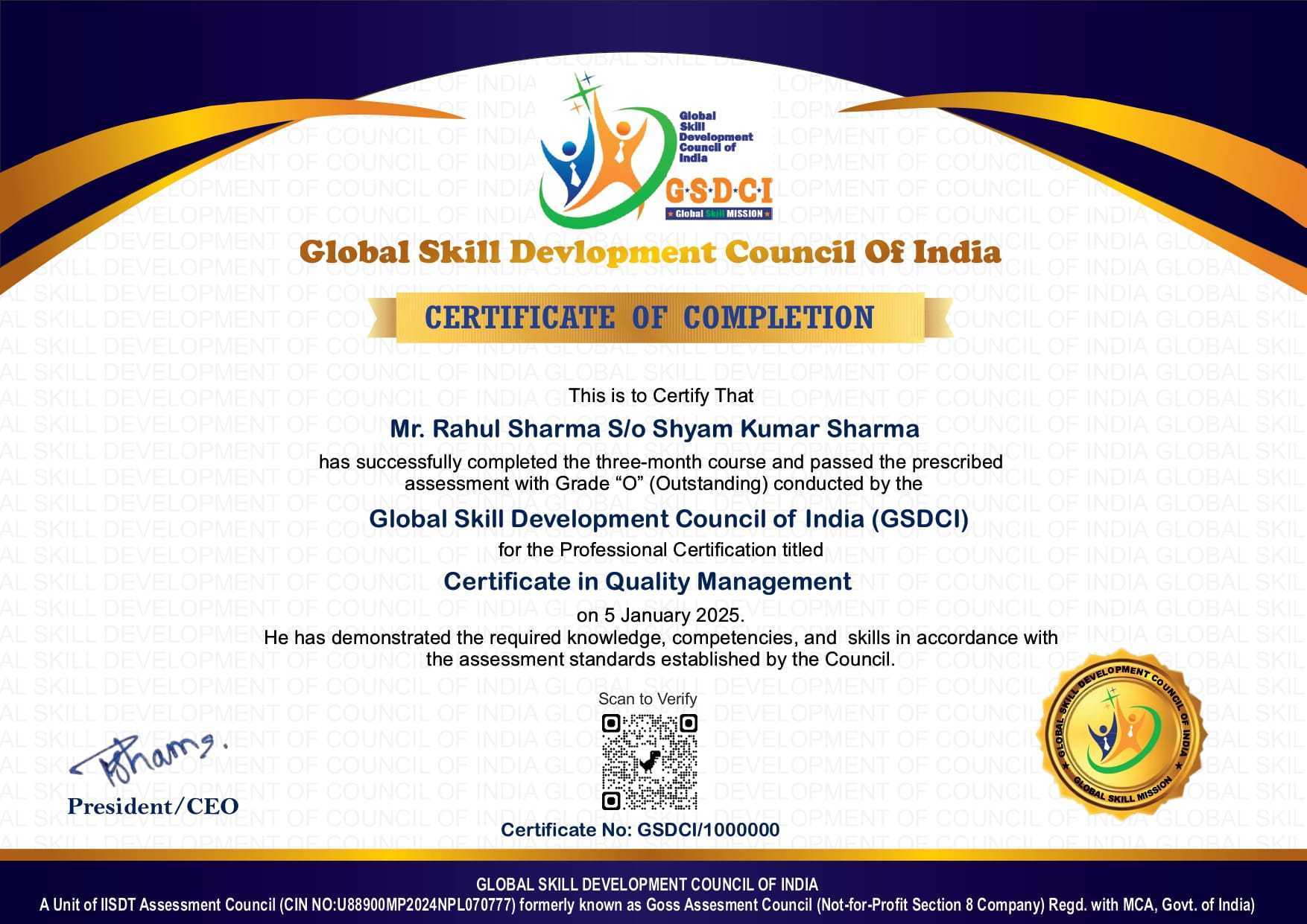
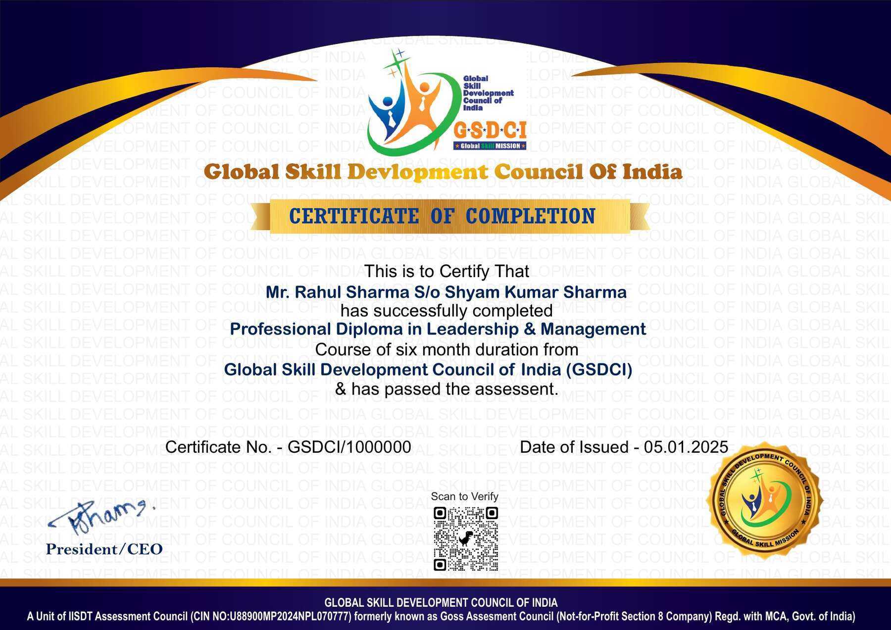
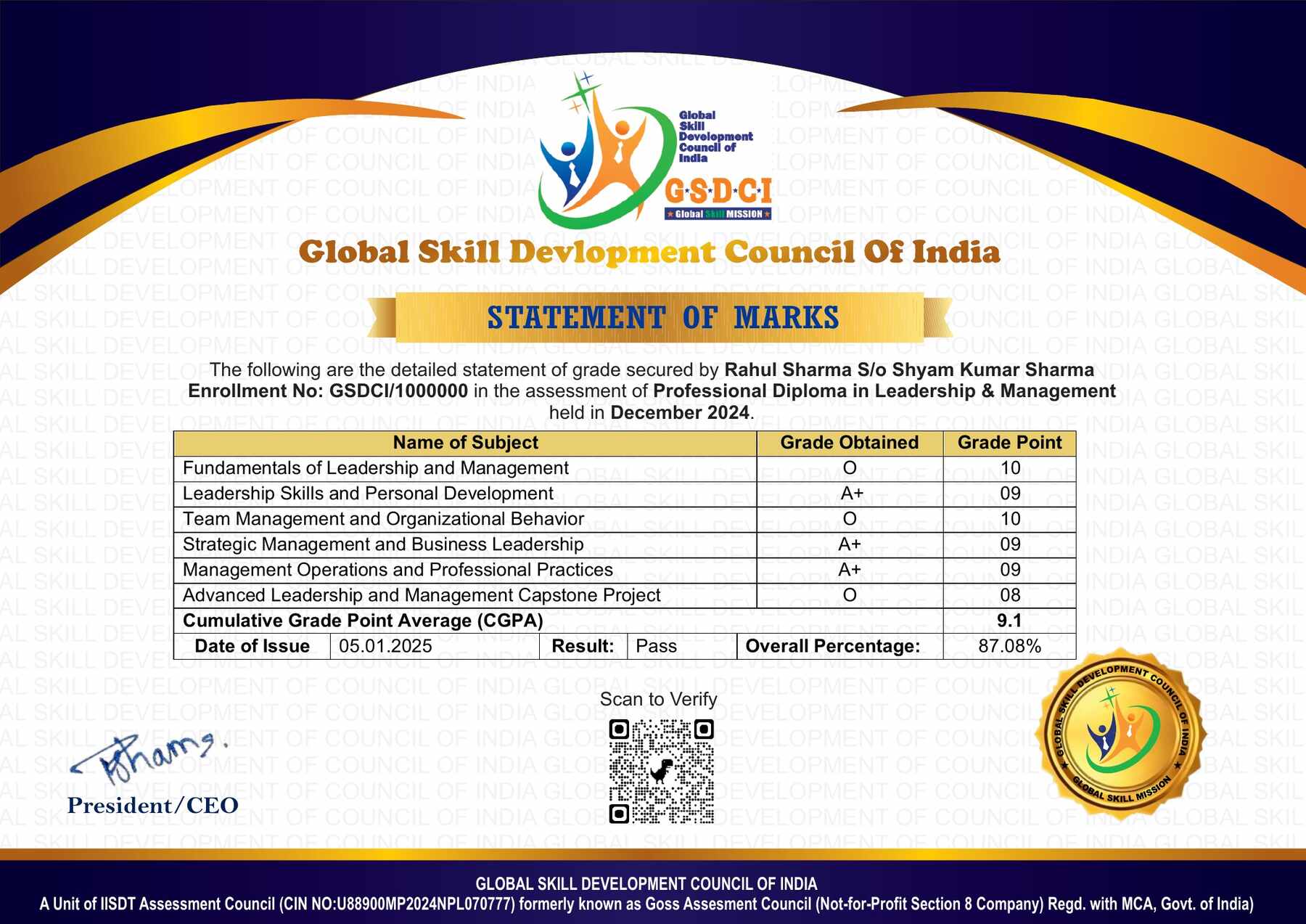
Step 6: After completion of the online assessment, the soft copy of your certificate will be sent to your registered email ID within 5 days.

Assessment Modules:

Module 1: Introduction to Drone Technology: History and evolution of drones, Types and classifications of drones (Fixed-wing, Multirotor, Hybrid), Components and working of UAVs, Drone communication systems and telemetry, Regulatory authorities and drone classifications (DGCA, FAA etc.), Safety guidelines and ethical considerations.

Module 2: Airspace Regulations and Legal Compliance: Drone laws and licensing procedures, No-fly zones and restricted airspace, UAV operator responsibilities and legal liabilities, Insurance requirements and documentation, Mission planning with legal compliance, Privacy and data protection laws.

Module 3: Drone Hardware and Maintenance: Understanding drone hardware components (frame, ESC, motors, props), Battery types, management, and safety, Payloads and sensor integration (GPS, IMU, LiDAR, thermal), Routine maintenance and inspection procedures, Troubleshooting and basic repair techniques, Calibration procedures for sensors and components.

Module 4: Surveying Principles and GPS Technology: Basics of land surveying and mapping, Coordinate systems and datums (WGS84, UTM etc.), GPS fundamentals and GNSS technology, Ground Control Points (GCPs) and checkpoints, RTK and PPK methods for high-accuracy data, Pre-flight planning for aerial surveys.

Module 5: Data Acquisition and Flight Operations: Mission planning using survey software (e.g., DJI GS Pro, Pix4Dcapture), Drone flight modes and automation settings, Executing survey missions safely, Image overlap and flight path optimization, Data logging and metadata capture, Risk assessment and emergency handling.

Module 6: Data Processing and Output Generation: Image stitching and orthomosaic generation, Digital Elevation Models (DEMs) and 3D models, Point cloud creation and LiDAR data processing, Accuracy assessment and quality control, Exporting outputs to GIS/CAD software, Final reporting and survey documentation.

GSDCI Online Assessment Detail:

  • Duration- 60 minutes.
  • Number of Questions- 30.
  • Number of Questions from each module: 5.
  • Language: English.
  • Exam Type: Multiple Choice Questions.
  • Maximum Marks- 100, Passing Marks- 50%.
  • There is no negative marking in any module.
Marking System:
S.No. No. of Questions Marks Each Question Total Marks
1 10 5 50
2 5 4 20
3 5 3 15
4 5 2 10
5 5 1 5
30   100
How Students will be Graded:
S.No. Marks Grade
1 91-100 O (Outstanding)
2 81-90 A+ (Excellent)
3 71-80 A (Very Good)
4 61-70 B (Good)
5 50-60 P (Pass)
6  0-49 F (Fail)


Benefits of Certification:

1. Global Recognition & Credibility – Stand out worldwide with a certification that strengthens your professional profile across borders and demonstrates your skills to employers and institutions.

2. Quality Assurance through ISO Certification – Programs follow an ISO-certified quality management system to promote consistency, reliability, and a standardized learning experience.

3. Career Advancement & Employability – Enhance your résumé, demonstrate professional competence, and improve your prospects for career growth, promotions, or suitable job opportunities.

4. Non-Profit Trust Factor – Certification from a non-profit organization reflects a mission-driven approach focused on skill development, professional learning, and public benefit.

5. Access to Learning Resources – Gain access to useful learning resources such as e-books, mock tests, assessments, and online academic support.

6. Transparency & Online Verification – Each certification includes a unique enrolment or certificate ID, enabling convenient online verification by employers and other interested parties.

7. Lifetime or Long-Term Validity – Certifications may offer lifetime or extended validity, reducing the need for frequent renewal, subject to the applicable certification scheme.

Course Rating

4.5/5
★★★★★
★★★★★

Based on 25 student ratings

Highly Rated Course

Reviews

There are no reviews yet.

Be the first to review “Certificate in Drone Surveying Technology”

Your email address will not be published. Required fields are marked *

A 50% fee concession is applicable on all certification up to 8th September 2026.

1
  • Item added to cart
1
Your Certification Detail
Online Course Certified Navisworks Clash Detection Analyst
Certificate in Navisworks Clash Detection
1 X
6,000.00 3,000.00
= 3,000.00